Throwing Shade: Model Maps NYC Street Trees’ Cooling Benefits
Published by news.cornell.edu on August 14, 2023.
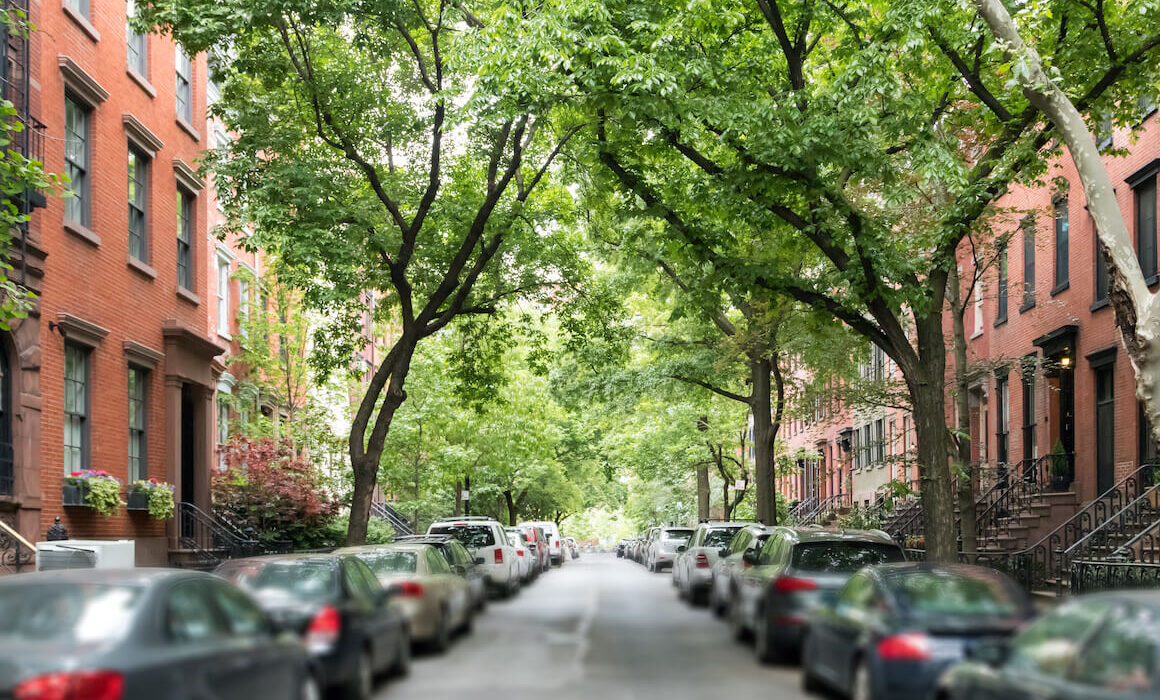
Cornell researchers’ “leaf-level” visualization of every tree in New York City – and how much shade each provides – could inform new strategies for mitigating extreme heat there, and in other cities coping with record-breaking temperatures.
Tree Folio NYC creates a “digital twin” of New York’s urban canopy. The high-resolution, 3D model not only details trees’ location, type and size, but simulates how local conditions such as street orientation, street width and building height influence their shading benefits.
For decades, cities have planted trees in uniform rows along streets. But improved understanding of how tree placement impacts shading could help planners plant and maintain trees more strategically to maximize climate benefits and distribute them equitably, said Alex Kobald, project lead and associate director of the Design Across Scales Lab in the College of Architecture, Art and Planning (AAP).
“We’re trying to better understand the relationship between a tree and its local environment,” Kobald said, “and how that local environment impacts the benefits a tree can provide.”
Keep reading at news.cornell.edu.